Researching Integrated Planning - Evaluating planning effectiveness using discourse analysis
Tue, September 19, 2023 | General | Housing | Parking | Public Transport | Rapid Transit | Research | Urban Design | Walking and CyclingIn our last article, we introduced the research we undertook for Waka Kotahi on integrated land use and transport planning (ILUT) in Aotearoa, explaining that there were three main parts to the research – (i) a literature review, (ii) interviews with practitioners who deal with ILUT planning processes on a day-to-day basis, and (iii) carrying out a ‘stocktake’ of the existing legislation, plans, strategies, policies, and processes.
In this article we reflect on the stocktake and the method we chose for evaluating a broad range of documents and processes, against how well they embodied effective ILUT planning.
The stocktake was large and complex, so we needed a consistent method of evaluating a broad range of documents/decisions against good practice ILUT planning. We decided to employ a form of discourse analysis to help with this task, identifying a set of indicators intended to measure the effectiveness of ILUT planning – meaning the likelihood of the document/decision resulting in good development outcomes. These indicators needed to be broadly applicable to enable us to review any document or decision in the planning and delivery framework, identify weaknesses, and trace these back to a barrier or opportunity to plan things better.
The indicators are based on elements of good ILUT planning included in government level policy directives, and on our professional experience with policy development, transport planning, and development regulatory planning.
Our six indicators of effective ILUT planning
- Prioritisation
- Density
- Mixed-use
- Access or mobility
- Travel behaviour change
- Urban environmental quality
Prioritisation:
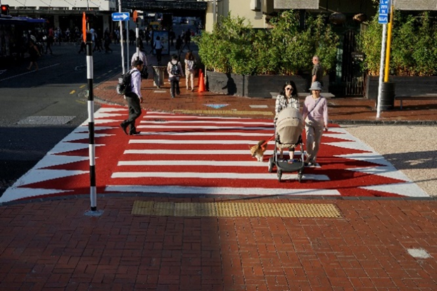
This indicator relates mainly to transport and is about the type of users prioritised within the transport system in each document or decision. For example, in a policy environment where mode shift and reducing dependence on private cars is pre-eminent, we would expect strategic planning documents to use wording like ‘prioritise’ rather than ‘provide for’ walking, cycling and public transport. Similarly, when deciding on specific project designs, we would expect the designs to prioritise safety and amenity for pedestrians and cyclists rather than compromising these for the sake of maintaining vehicle driver travel times.
Density
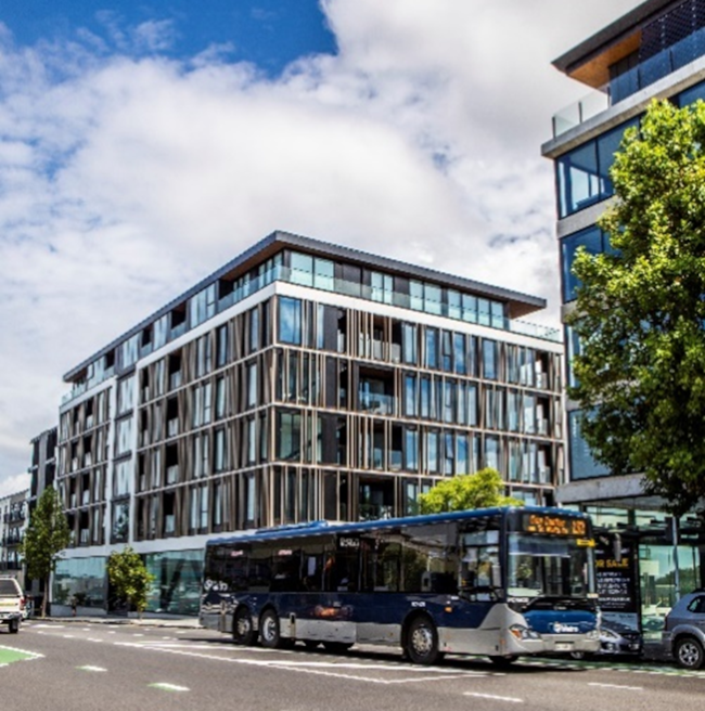
This indicator is associated with both housing choice and transport choice. For example, in a policy context where there is recognition that proportionally, single family detached dwellings are over-supplied, we would expect active encouragement to increase land use density and attached housing typologies. Likewise, in a policy context that recognises car dependency as a problem, we would expect density to be encouraged around existing or potential future frequent transport stops and commercial/community centres, to support high public transport levels of service and the use of active modes of travel.
Malcolm McCracken discusses the importance of density in more detail in the article Why Density is Critical for Our Future.
Mixed-use
This indicator is about amenities being allowed to locate near to people’s houses using either mixed-use zoning, or zoning land to allow for commercial activities that provide for people’s daily needs within reasonable walking distance of people’s homes. Traditional 20th century zoning approaches can lead to people living a long way from activities like food retail that provide for their daily needs, contributing to high levels of car dependency.
Access or mobility
This indicator questions if the document/decision is based on an access-based design philosophy or a mobility-based design philosophy. Conventional mobility-oriented planning has focussed on how far or how fast a person can travel, but access-oriented planning would focus on increasing the number of goods, services, economic or social opportunities that can be accessed within a defined distance or timeframe for an individual. With an ‘access’ mindset, mobility is obviously still important, but mobility is seen as a means not an end.
An access-oriented approach helps planners to consider a broader range of trips beyond commuters, encouraging an equitable and gender-inclusive understanding of transport needs. Planning for enhanced access would include planning for proximity, improved communications systems, bringing services closer, etc.

Travel behaviour change
This indicator checks if the document/decision includes soft measures, apart from the built environment measures, such as mandating travel plans, providing information and education, or financial incentives like avoiding subsidies for car travel such as free parking.
Urban environmental quality
We used this indicator to evaluate if a document/decision aims to actively improve urban character and amenity, e.g., through reduced dominance of cars, or through applying urban design principles like development contributing positively to the streetscape and public domain or requiring verandas where they will be beneficial.
High-quality urban environments can help support high levels of walking and cycling, and more generally support the wellbeing of residents in areas of higher density development.

These indicators are not mutually exclusive but are complementary and inter-dependent. For example, density provides housing choice, but combined with mixed use development increases peoples access to things they need daily, without the need to be highly mobile.
Categorising the indicators in the way we did, helped us draw insight from the research. We were able to get a feel of whether a document was focused more on mobility and might benefit from a more balanced perspective that included access and prioritising walking and cycling. Ultimately the indicators enabled us to perceive patterns and get an overview of where weaknesses or gaps present a barrier to ILUT planning and delivery, providing insight into areas of improvement to achieve better ILUT planning.
Potential to use these indicators more broadly
We found the indicators and this type of discourse analysis was indispensable in identifying weaknesses in the ILUT planning framework, especially in providing insight into the mindset of people working in the field. Underlying assumptions and mindsets play a large part in the success of integrated planning, so, we think this type of analysis could also be an indispensable part of evaluating plans and processes as part of the implementation phase of future development strategies or spatial plans - For example, through identifying existing plans and processes that need to be changed, to ensure they align with a vision and strategic direction for cities and districts.